
Height caps fall across most of the city. Forty lakh houses and 43 lakh houses were both spoken at the same unveiling.
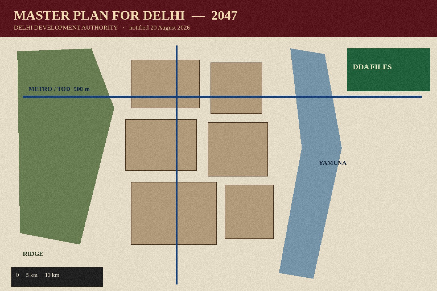
The Master Plan for Delhi-2047 is now a notification, not a draft. It was notified on Thursday, 20 August, as a 20-year framework for housing, redevelopment, transport and urban expansion. The Delhi Development Authority had approved it on 12 August. Eight days from board to gazette is the official clock.
Union Housing and Urban Affairs Minister Manohar Lal unveiled it with Chief Minister Rekha Gupta and Lieutenant-Governor Taranjit Singh Sandhu. Lal said the framework aims at nearly 43 lakh new houses, most of them for affordable housing. The same unveiling also used the phrase "of the proposed 40 lakh houses" for the mix of sources. This desk will not collapse 40 lakh and 43 lakh into one unaudited total. Both figures were spoken. Both will be printed. Neither will be added to the other.
Lal said the plan will help a city expected to reach 3.2 crore people in two decades, despite limited land. 3.2 crore is a projection, not a census. Gupta called the plan a "comprehensive road map" and said that, keeping the Capital's current challenges in mind, it will set the direction for development in line with its future needs. Those are her locked sentences. This desk will not invent a longer speech.
Delhi Development Authority vice-chairperson N. Saravana Kumar described the housing arithmetic by source. The largest slice is to come from transit-oriented development. Then land pooling. Then slum-cluster and group-housing redevelopment. Then high-density corridors along Urban Extension Road-II. That order is his. This desk will not assign a lakh figure to each slice, because those slices were not numbered on the card.
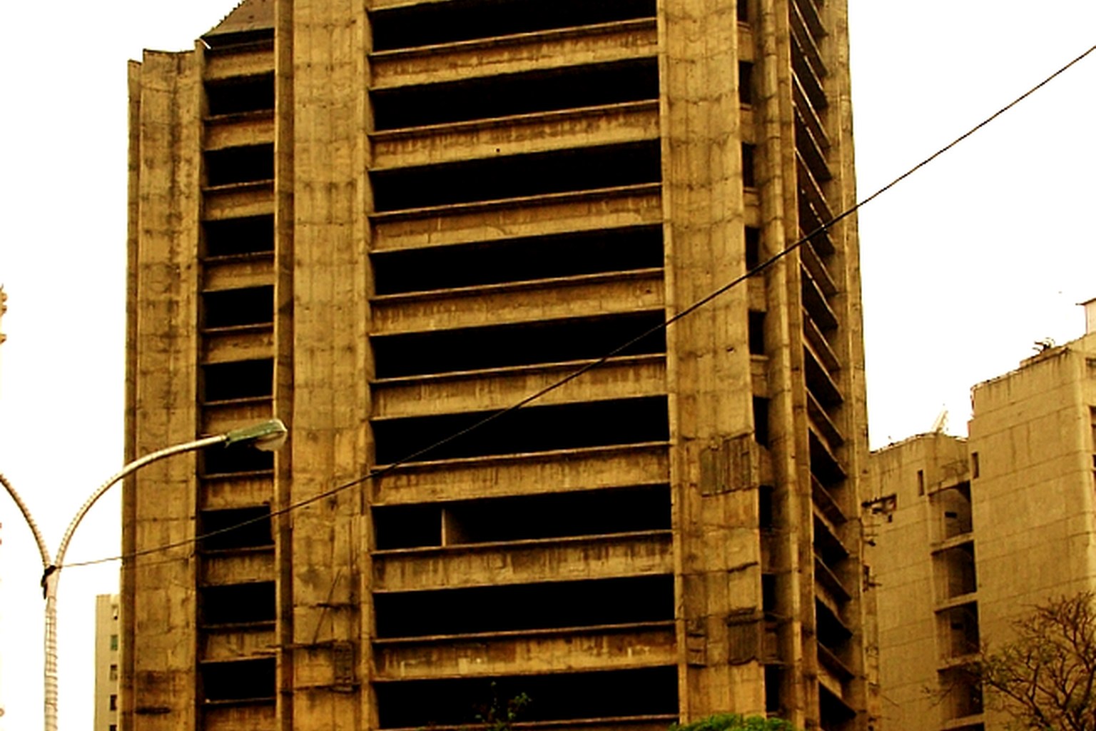
Height caps have been removed in most of Delhi. The exceptions are the list that still has a ceiling: Lutyens' Bungalow Zone, the Civil Lines Bungalow Area, Connaught Place, the Yamuna floodplains, the Ridge, land-pooling and low-density areas, and sites restricted by the Archaeological Survey of India and the National Monuments Authority. A city that lifts height in most wards and keeps it in the bungalow and floodplain wards is making a political geography, not only an architectural one.
The revised transit-oriented development sits within 500 metres of metro corridors and around Rapid Rail Transit System and railway stations. The minimum TOD plot size has been cut from 10,000 square metres to 2,000 square metres. The maximum floor-area ratio has been raised from 300 to 500. Those three numbers — 500 metres, 2,000 square metres, FAR 500 — are how a metro station is supposed to grow a neighbourhood. They are not a building permit.
Land pooling is expected to enable nearly 200 square kilometres of planned expansion and about 600 kilometres of roads. The Authority is to build roads of 30 metres and above upfront. Two hundred square kilometres is the expansion claim. Six hundred kilometres is the road claim. Upfront, for 30-metre-and-above roads, is the sequencing. This desk will not invent a first corridor.
Group-housing redevelopment has had its minimum plot cut from 40,000 square metres to 3,000 square metres. Land-use categories have been reduced from 133 to 45. Single-window online approvals have been proposed for transit-oriented development, change of land use and layout plans. New uses named on the plan are data centres, integrated industrial parks, co-working spaces and start-up hubs. A reduction from 133 categories to 45 is a simplification on paper. A single window is a proposal. Neither is a constructed floor.
What this desk will not do is print a ward-wise tower map, a compensation rate for land pooling, or a year-by-year housing target that splits 40 lakh from 43 lakh. It will not pretend the two housing figures are a typing error for one number. It will not invent a quotation for Manohar Lal beyond the aims already stated, or for the Lieutenant-Governor, who is named as present and not as quoted.
Until the first 2,000-square-metre TOD plot is actually approved, the public ledger is a 20 August notification, a 12 August Authority approval, a 3.2-crore population projection, two housing figures left standing side by side, height caps lifted except in the named heritage, floodplain, ridge and bungalow exceptions, FAR 300 to 500, plot floors lowered for TOD and for group-housing, 200 square kilometres of pooling, 600 kilometres of roads, 133 land-use categories cut to 45, and a Chief Minister's sentence about a comprehensive road map. The city on limited land has a 20-year paper. The paper is now notified.








Comments